Zoning Basics
Zoning refers to laws and ordinances that regulate land use in a given jurisdiction. Zoning was introduced in the early twentieth century to protect public health and safety by separating incompatible land uses, like heavy industrial and residential. Eventually, zoning was also used to regulate more minute details of land use, including housing type. Zoning can now govern the allowable use of land, regulate lots and structures by dimensions, and influence and guide development decisions.
In Massachusetts, which is a home rule state, each city and town makes the zoning laws that apply to land within their municipal boundaries.
Municipalities divide their land area into zoning districts, codified in zoning bylaws (in towns) and ordinances (in cities) that have been approved by town meeting (towns) or by the city council or aldermen (cities). The zoning bylaws or ordinances of a municipality define the various districts. In order to determine the zoning district(s) of a particular site, you can review the municipality’s zoning laws and zoning map. Zoning bylaws or ordinances and the zoning map are available at town or city halls and on municipal websites. This information will indicate what can be built "as of right" or "by right" without additional permits or zoning changes and what dimensional requirements apply to any structures to be built.
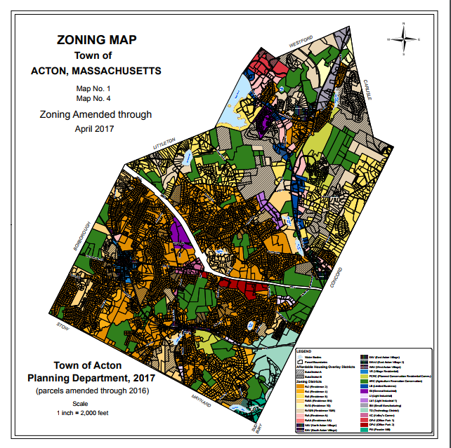
The map below shows the zoning map for the Town of Acton, color coded to show the district. To see the map in more detail, see what is allowed in each district, or learn more about Acton's zoning and planning initiatives, visit their Planning Department website.
The ABCs of Zoning
In August 2019, CityLab produced an article explaining a comprehensive list of zoning jargon for volunteers and advocates new to the municipal zoning world. The article includes a brief history of zoning in the United States and glossary of terms to know for the next ZBA meeting.
If the zoning district applicable to a site doesn’t permit the desired use, or the proposed use varies from the dimensional requirements, then zoning relief would be needed. Zoning relief approaches vary from a special permit or variance, granted by the permit-granting authority in your community, to a 40B Comprehensive Permit, granted by the Zoning Board of Appeals, to a re-zoning or zoning amendment approved at town meeting or by the city council or aldermen. More information on 40B Comprehensive Permits can be found in the next section.
In many cases, zoning ordinances when it comes to residential are defined in terms of density, using “dwelling units per acre” as the measure. It can be difficult for those who are not as familiar with land use regulations and are not professional planners to visualize a neighborhood plan or project proposed as “X units per acre.” These numbers may sound very high out of context, but the density of some of the most desirable neighborhoods in Massachusetts may surprise you. The “Visualizing Density” interactive tool from the Brookings Institute provides great visuals on different types of residential density, as well as good information on integrating different density levels in your own community.
Higher densities can help to create a wider variety of housing options that are often naturally more affordable, as well as help to create and/or maintain the kind of neighborhood and places often associated with traditional New England towns and villages. In 2015, MHP commissioned a study of some older, highly desirable and “traditional” neighborhoods across the state to see how they stacked up to current zoning, and found that in many cases they were more dense and allowed a higher variety of uses than currently allowed. The characteristics in these “Illegal Neighborhoods” like smaller lots and smaller homes, with mixed residential and local business uses, would help transform many communities today.
For additional resources and technical information on amending zoning bylaws, by-right permitting, and other zoning tools, visit the Commonwealth’s Smart Growth Toolkit.